
Project Development & Construction
Design and Construction Projects
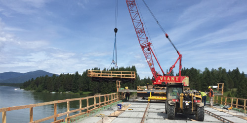
The following project webpages provide information on many of the major highway and bridge projects MDT is designing and constructing.
View the active project maps for a statewide look at all MDT projects:
Active Projects Map
Check MDT's Tentative Construction Plan Map to see what is planned:
Statewide - Federal and State Tentative Construction Plan (TCP) Map 2025 - 2029
Know before you go - current road conditions and construction delays:
MDT 511
Billings District
Billings Area
Billings Airport Road & Main Street
Curve at 64th Street & Laurel Airport Road
Exposition Drive & 1st Avenue North
King Avenue & 64th Street – Billings
Lockwood Interchange Reconstruction
Lewistown Area
Lewistown Area Bridges – DAR Structures
Other Billings District Areas
Clarks Fork – 9M S Belfry (Chance Road Bridge)
Highway 78 – Red Lodge to Luther
Red Lodge Emergency Flood Repairs
US 191 – Mobridge Slide Repairs
Butte District
Bozeman/Belgrade Area
7th Avenue North Intersections
Amsterdam Road Intersection Improvements
Belgrade Intersection Improvements
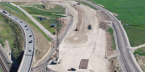
I-90 Bear Canyon to Jackson Creek
Jackrabbit – Madison to Main – Belgrade Urban
Kagy Blvd – S. 19th to Willson
Kagy Boulevard & Sourdough Road Intersection Improvements
Mill Street Intersection Improvements
US 89 Wildlife Crossing Feasibility Study
US 191/MT 64 Optimization Plan
Butte Area
Highway 84 – East of Norris Corridor Study
Other Butte District Areas
Anaconda & Deer Lodge Signal Upgrades
Cougar Creek Bridge W. Yellowstone
Granite Creek – 3mi NW of Virginia City
Southwest of Grant – Southwest
Tepee Creek Crossing W Yellowstone
Glendive District
Miles City Area
Circle and Terry ADA Sidewalks
Sidney Area
Other Glendive District Areas
Glendive District Bridge Deck Rehabilitation
Great Falls District
Great Falls Area
Watson Coulee Road Reconstruction
Helena Area
Benton Avenue Railroad Crossing
I-15 Sieben North Pavement Preservation
Lincoln – Applegate Intersection
Lincoln Road Reconstruction – S 279
Lola Shephard Intersection Improvement
Other Great Falls District Areas
Havre Northwest Reconstruction
Havre – Urban Concrete Pavement Preservation
Missoula District
Kalispell/Whitefish Area
Batavia Intersection Improvements
Groom / Hall Creek – 1 M W of Swan Lake
Kalispell-Whitefish Access Plan
Old Reserve Drive Rural Reconstruction
Reserve Drive: Hutton Ranch Road to Whitefish Stage Road
Stanton – Essex Pavement Preservation
US 2 Rose Crossing to Glacier Airport
Woodland and 2nd Street / Conrad Intersection Improvements
Missoula Area
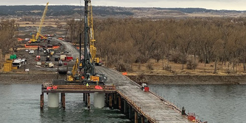
Bitterroot River Bridge, Missoula
Median High-Tension Cable Rail
Mullan Road – Pulp Mill to Deschamps
US 93 Post Creek Hill and Ninepipe Eagle Pass Trail
Other Missoula District Areas
Clearwater Junction Intersection
Railroad Avenue Walks – Alberton