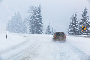
Drivers need reliable forecasts and alerts for icy road conditions, particularly the presence of black ice, to reduce winter driving risks. The Montana Department of Transportation (MDT) currently has 73 Road Weather Information System (RWIS) stations throughout the state, which are used to measure road surface temperature, sub-surface temperature, air temperature, humidity, dew point, pressure, wind speed and precipitation type and occurrence. Select sites (six or fewer) have advanced precipitation sensors, visibility sensors or infrared illuminators for nighttime camera images. This data makes it possible to study geospatial distribution of black ice formation and identify different mechanisms of black ice for various orographic and surrounding environmental conditions. Consequently, it advances the capability to forecast black ice. Icy Road Forecast and Alert (IcyRoad) is a technology based on weather forecasts, remote sensing observations, cloud computing and data mining. The purpose of this research project was to validate and refine the IcyRoad scientific algorithm, particularly the black ice algorithm, using MDT RWIS ground observations to develop a black-ice forecast scheme.
